
Held at: | Private collection |
Reference: | Aerial photograph with map |
Source: | Air Ministry and OS map |
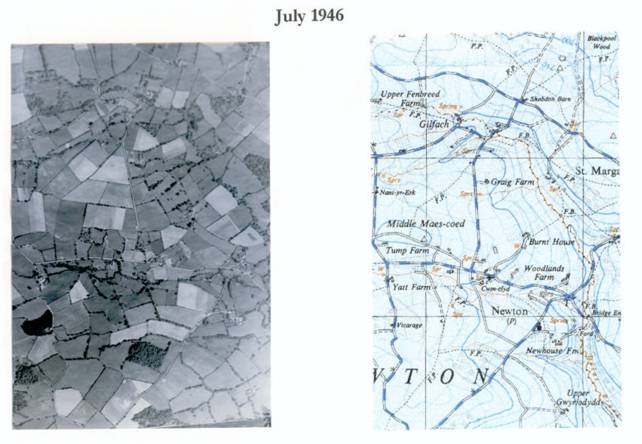
Title: | Middle Maes Coed |
Place name: | Newton |
Date: | 1946 |
Description:
An aerial photograph of the Midddle Maes Coed area taken in July 1946 together with a map extract to assist in the identification of features
Observations:
See copy below.
Note that the detail below is in ‘image only’ format and as such is not searchable one
Ref: gc_nwt_0105