
Held at: | Private collection |
Reference: | RS/TCF |
Source: | Original photographs and drawings |
Title: | Digital Archive: Turnastone Court Farm Photograph Collection Part 6 of 7 – The Water Meadows |
Place name: | Golden Valley |
Date: | 2004 |
Description:
Turnastone Court Farm, Vowchurch, lies in the Golden Valley in Herefordshire, (Grid Reference SO358364) beside the River Dore. Most of the tributary streams of the River Dore originate on the west side of the river valley with the Shegear and Slough brooks running through Turnastone Court Farm land. In 1610 the owner of nearby Poston Court, Rowland Vaughan, published a text claiming to have invented a surface water irrigation system to increase the productivity of the grassland in the valley. Whether Rowland Vaughan was the first person to construct water meadows and how much of the valley was irrigated in 1600 is open to debate. However there are clear remnants of water meadows systems on Turnastone Court Farm.
Part 6 of the photograph collection contains drawings, maps and photographs pertaining to these water meadows and the related irrigation systems, which were the subject of a detailed survey in 2004
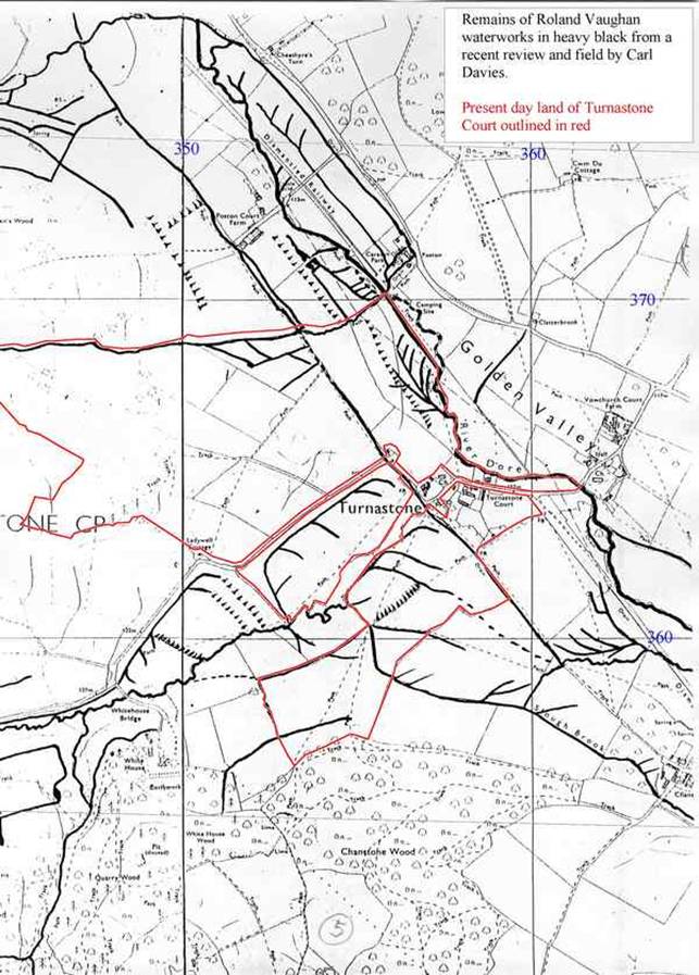
Overview of apparent irrigation works in and around Turnastone Court Farm
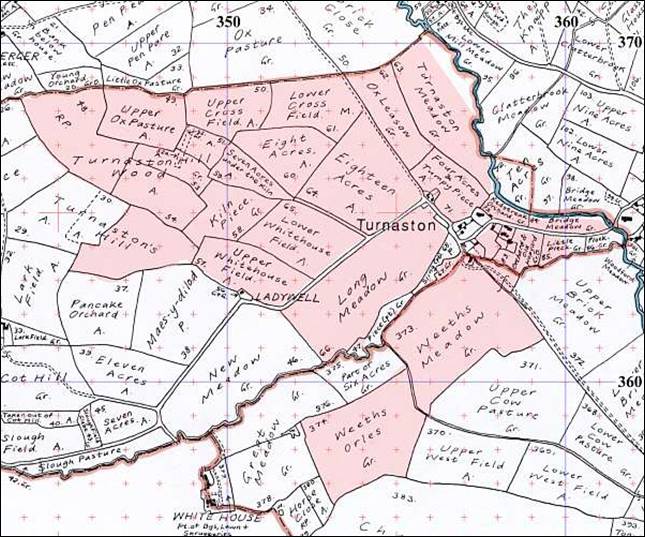
Tithe Map of Turnastone Court Farm showing field names; c.1840
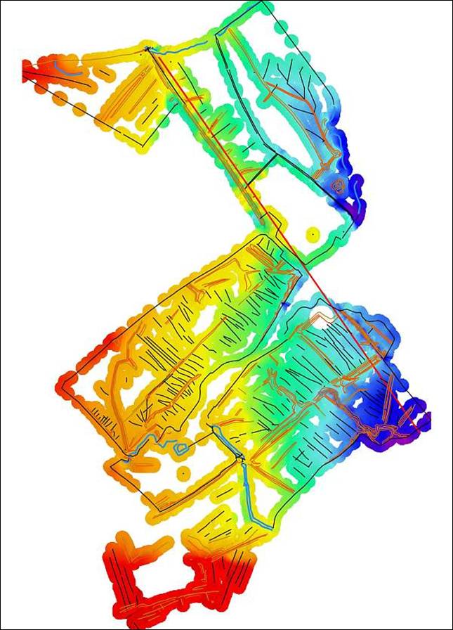
Land Height Survey showing landscape features in and near Turnastone Court Farm; 2004
[shaded from red highest to blue lowest]
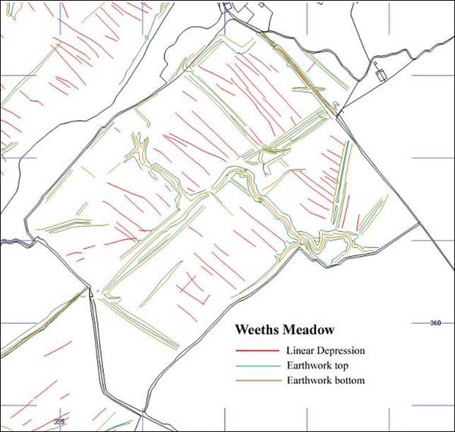
Landscape features in Weeths Meadow; 2004
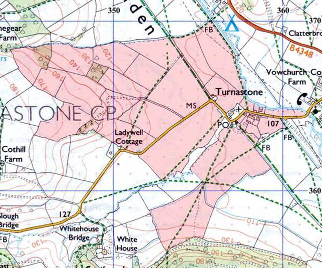
Extract of modern Ordnance Survey showing Turnastone Court Farm and lands
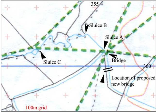
Detail from Ordnance Survey of waterworks and sluice locations in Long Meadow and Weeths Meadow
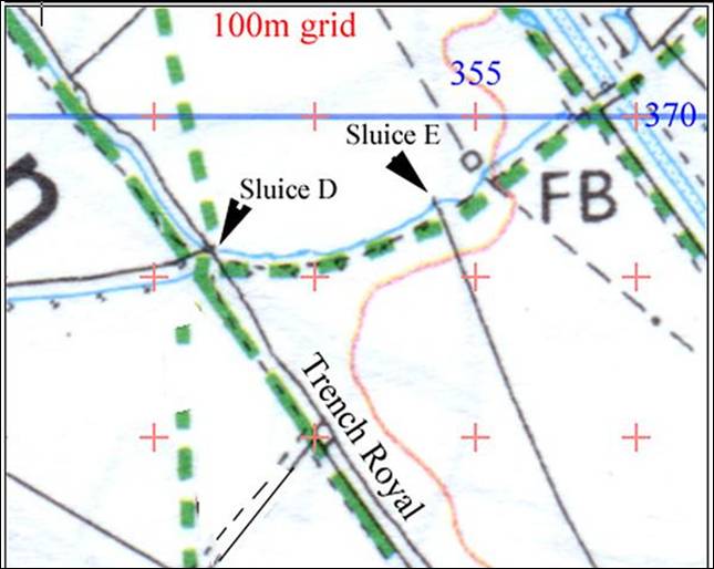
Detail from Ordnance Survey of waterworks and sluice locations on the northern boundary of Turnastone Meadow
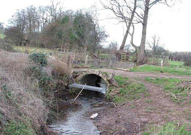
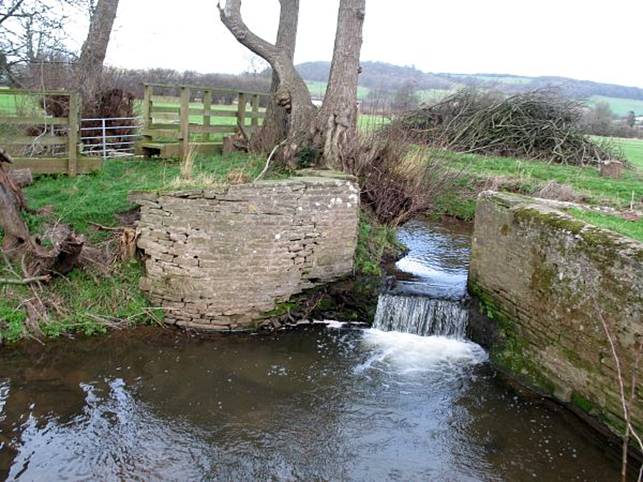
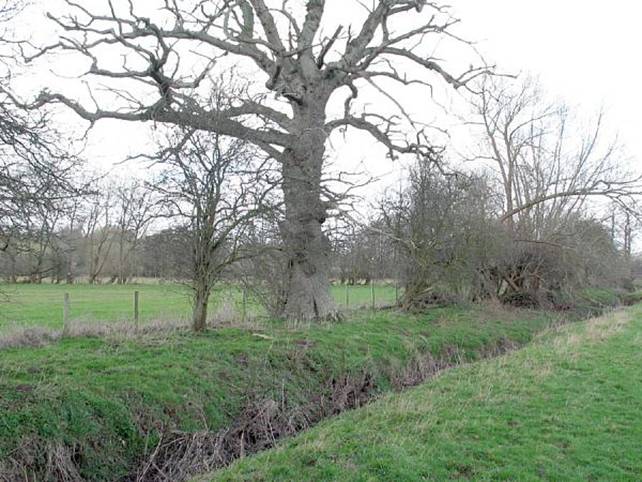
Stone bridge over the Slough brook between Weeths Orles and Weeths Meadow.
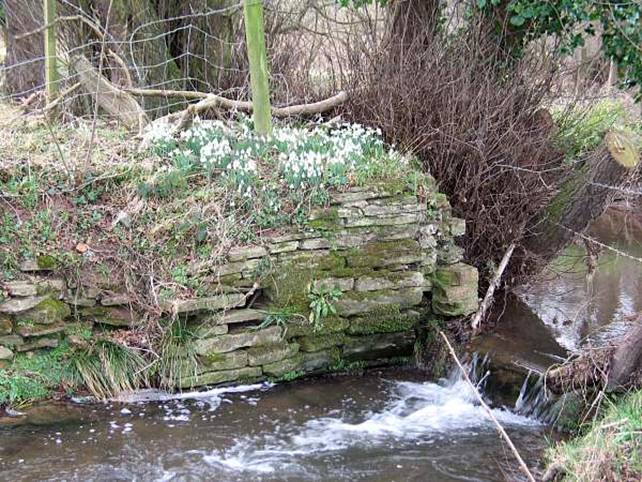
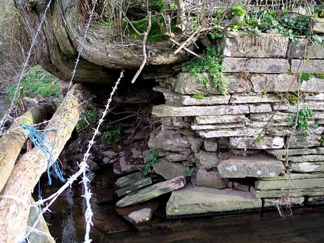
Weeths Meadow; Sluice A, just upstream from the bridge on the Slough Brook.
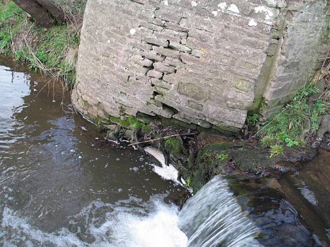
Weeths Meadow; Sluice A, just upstream from the bridge on the Slough Brook.
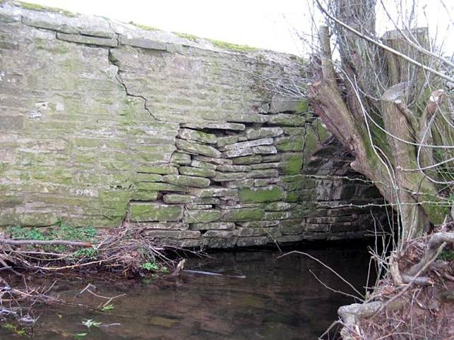
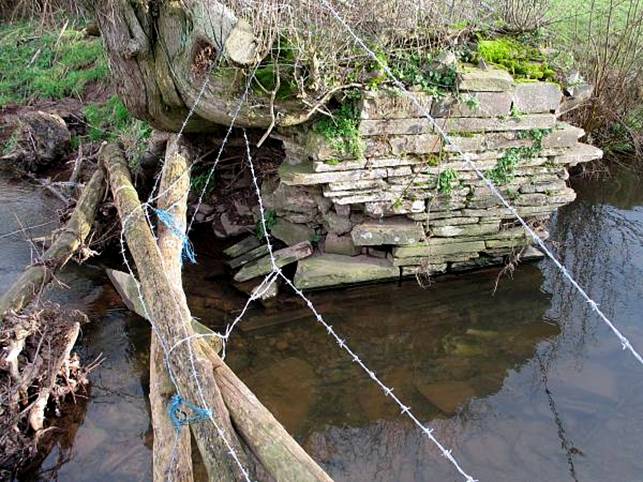
Weeths Meadow; Wall from the bridge to Sluice A on the Slough Brook showing partial collapse
Weeths Meadow; Sluice A just upstream from the bridge on the Slough Brook.
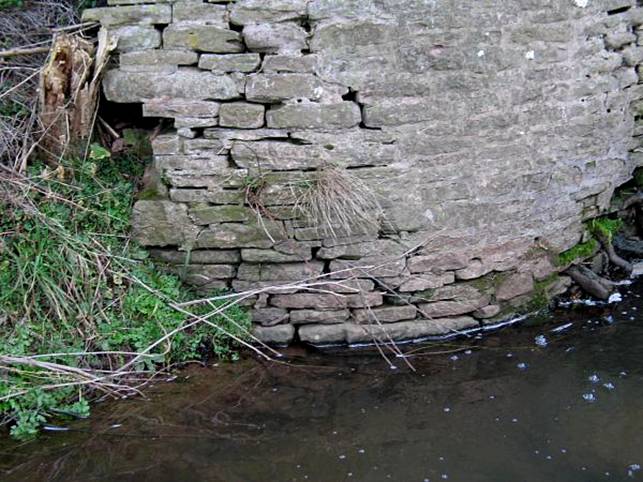
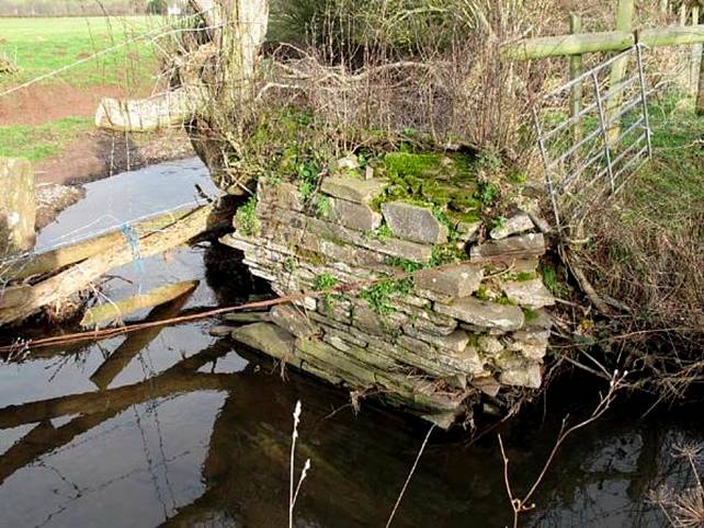
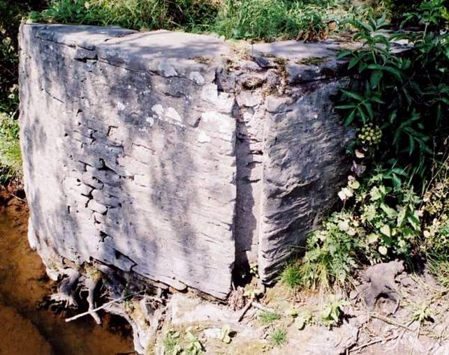
Weeths Meadow; Sluice B
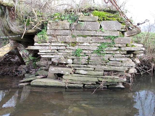
Sluice C on the Slough Brook at the edge of Long Meadow
Sluice C on the Slough Brook at the edge of Long Meadow
Sluice C on the Slough Brook at the edge of Long Meadow
Sluice C on the Slough Brook at the edge of Long Meadow
Weeths Meadow; Sluice A
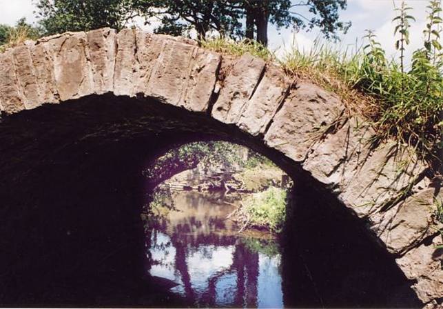
Stone bridge over the Slough brook between Weeths Orles and Weeths Meadow
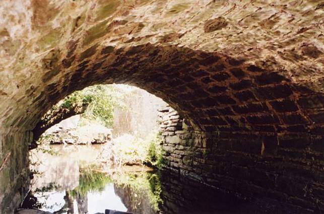
Stone bridge over the Slough brook between Weeths Orles and Weeths Meadow
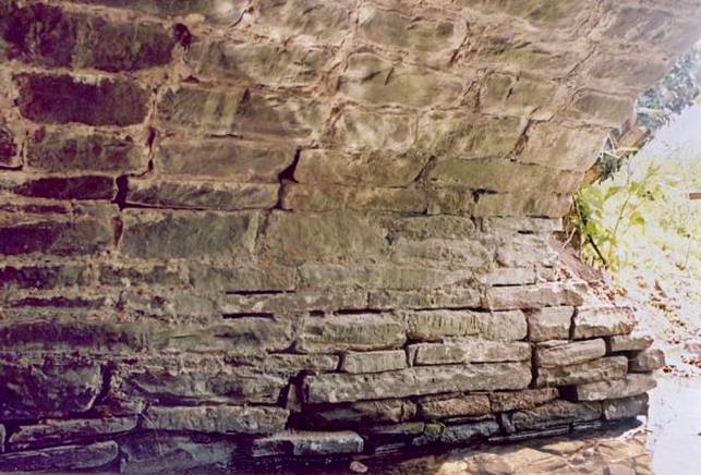
Stone bridge over the Slough brook between Weeths Orles and Weeths Meadow
The Trench Royal; 2004
The Trench Royal; 2004
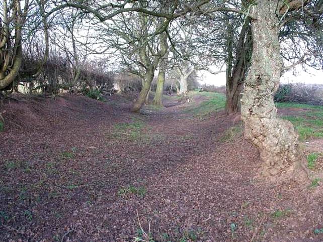
The Trench Royal; 2004
The Trench Royal; 2004
The Trench Royal; 2004
Watercourse at Turnastone Court Farm; 2004
Watercourse at Turnastone Court Farm; 2004
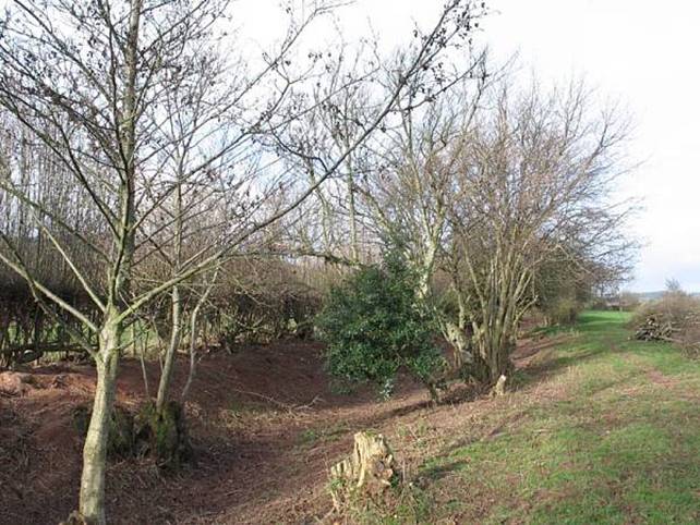
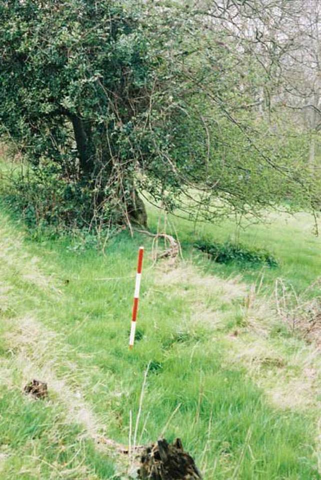
Weeths Orles field, showing possible irrigation features; 2004
Weeths Orles field, showing possible irrigation features; 2004
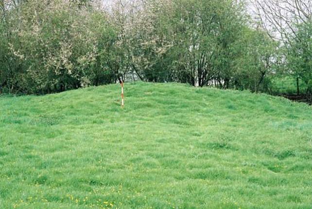
Mound at the top of Great Meadow, above Turnastone Court Farm; 2004
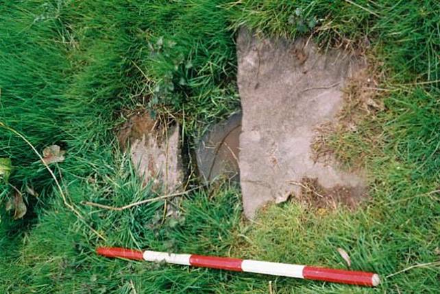
Culvert in Field 15 at Turnastone Court Farm; 2004
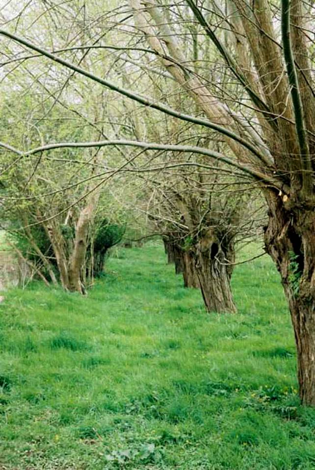
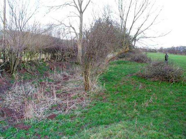
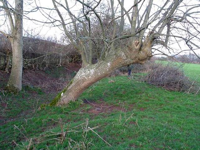
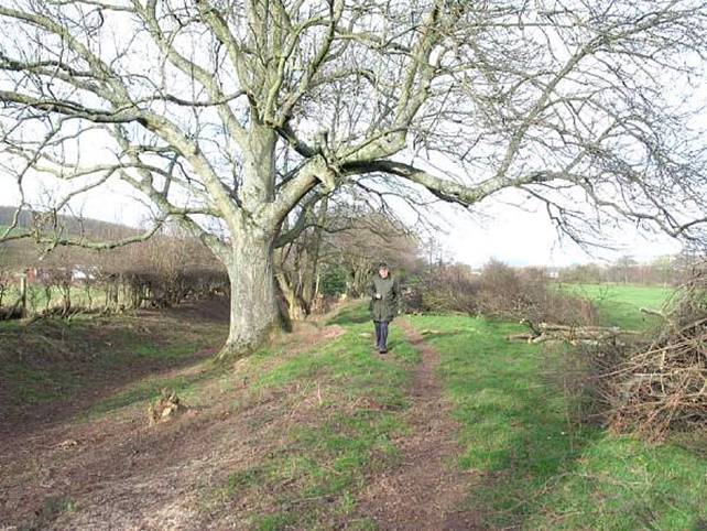
Pollarded willows marking the line of Vaughan’s ‘Trench Royal’ in Field 22 [Turnastone Meadow] at Turnastone Court Farm; 2004
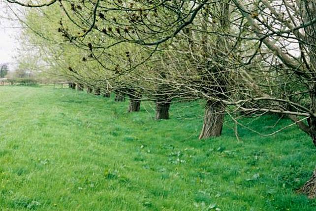
Pollarded willows marking the line of Vaughan’s ‘Trench Royal’ in Field 22 [Turnastone Meadow] at Turnastone Court Farm; 2004
Pollarded willows marking the line of Vaughan’s ‘Trench Royal’ in Field 22 [Turnastone Meadow] at Turnastone Court Farm; 2004
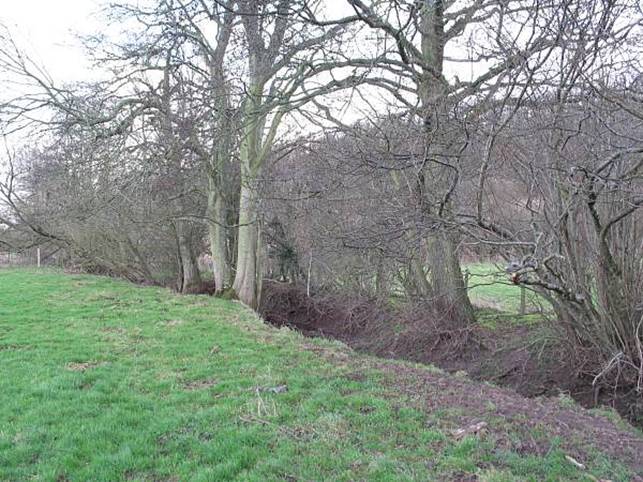
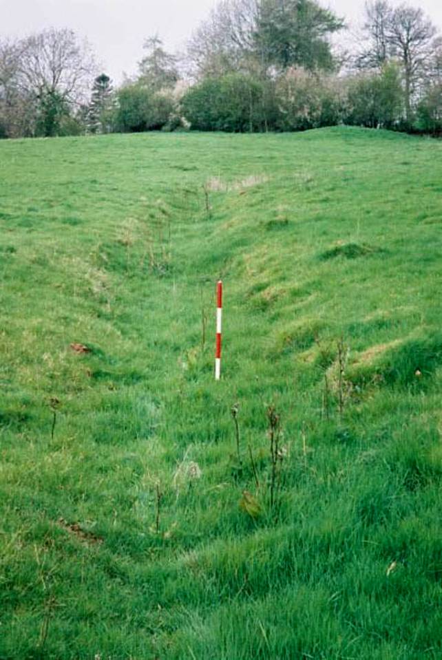
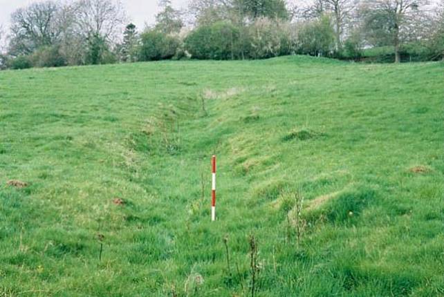
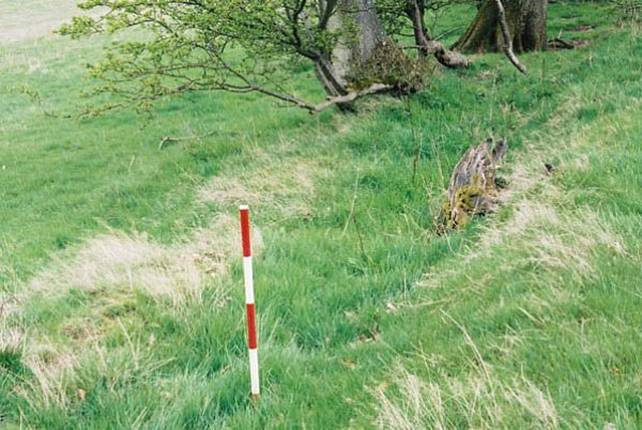
Ditch in Weeths meadow, Turnastone; 2004
Ditch in Weeths meadow, Turnastone; 2004
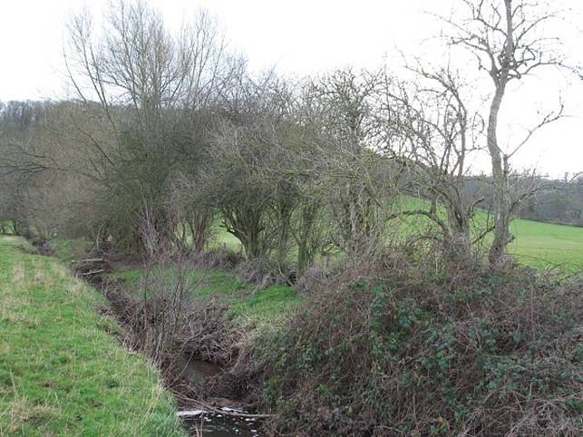
Ditch in Weeths meadow, Turnastone; 2004
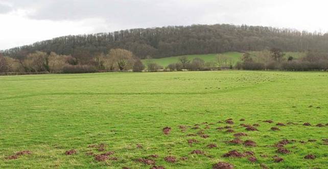
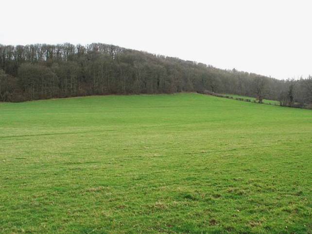
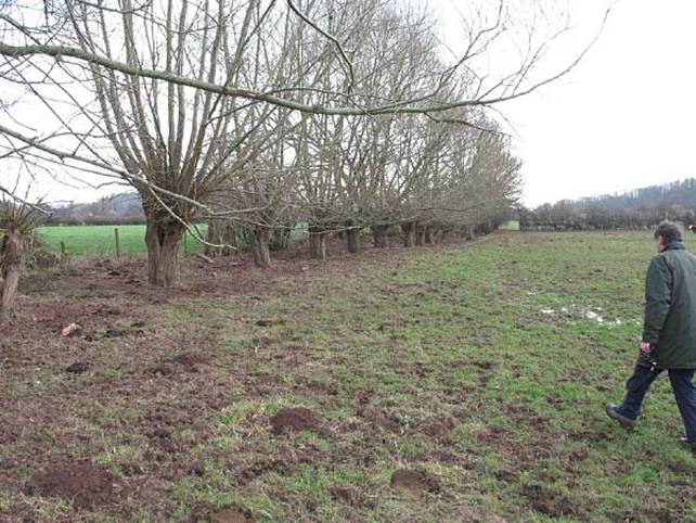
Long Meadow at Turnastone looking south west, showing possible irrigation features; 2004
Long Meadow at Turnastone looking south west, showing possible irrigation features; 2004
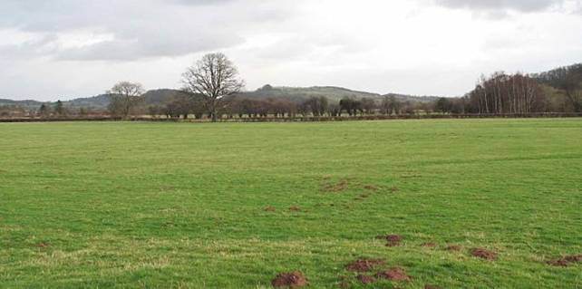
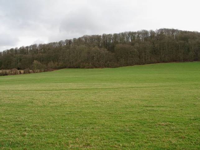
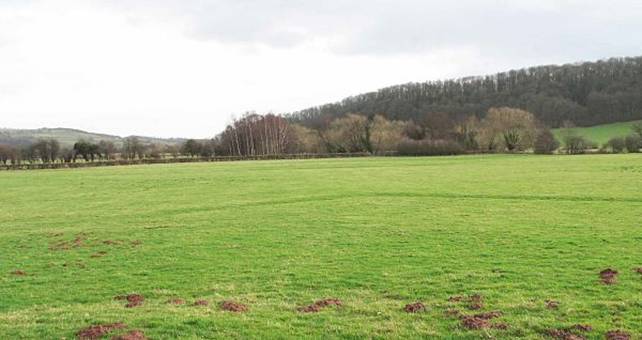
Long Meadow at Turnastone looking south, showing possible irrigation features; 2004
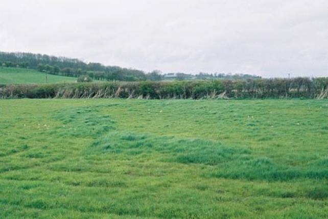
Bank in field 16 at Turnastone; 2004
Bank in field 16 at Turnastone; 2004
Cropmark in Turnastone Meadow showing possible line of ancient irrigation ditch; 2004
Observations:
Ref: rs_gdv_0081